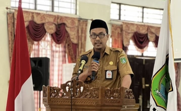
Pemkab Tanah Bumbu has successfully held a Workshop Pengolahan Data Spasial in collaboration with the Badan Informasi Geospasial (BIG) RI through the Badan Perencanaan Pembangunan Daerah Penelitian dan Pengembangan (Bappedalitbang). The event took place at the Mahligai Bersujud Kapet Simpang Empat building a while ago.
During the two-day event, 28 regional work units from Tanah Bumbu participated in the workshop on geospatial data processing conducted by various speakers from the Badan Informasi Geospasial Republik Indonesia.
According to Head of Bappedalitbang Andi Anwar Sadat, the Indonesian Constitution 1945, Article 28(f), states that every citizen of Indonesia has the right to communicate, acquire information, develop oneself and their social environment. This includes the right to seek and access all information through available means, including information geospatial (IG).
Geospatial information is useful in formulating policies, decision-making, and implementing activities related to the earth’s spatial arrangement. Anwar Sadat emphasized that IG is beneficial as a decision support system to optimize social, cultural and economic development, especially in natural resource management.
IG is essential for determining defense and tourism boundary lines, and it plays a crucial role in disaster management, environmental preservation, and defense and security. Therefore, the accuracy and currency of data are critical in various development sectors.
The workshop was conducted comprehensively to avoid errors, misunderstandings and overlapping that can lead to fatal consequences of legal uncertainty. The government’s openness in providing IG for public interest is crucial. The government aims to improve institutional, infrastructure, and human resource capacity in geospatial information management as part of its development objectives.


